Chhota Udaipur Forest Division

Login

About The Portal

This portal has been developed for forest administration, field monitoring and GIS based village management within Chhota Udaipur Forest Division.

The system provides secure access for DCF officers, range officers, round officers, beat guards and village level users for map monitoring and document management.

The application supports village based KML/KMZ map viewing, hierarchy access management and digital forest record handling.

Forest & Village Gallery
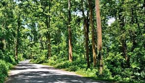
Forest Areas

Monitoring forest boundaries and biodiversity zones using GIS mapping.
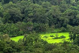
Village Monitoring

Village level GIS and file management for forest field operations.

Field Operations

Supporting beat guards and officers with digital map access.

System Features

GIS Mapping

Interactive KML/KMZ based village and forest map visualization.

Hierarchy Access

Division, Range, Round, Beat and Village based user permissions.

File Management

Upload and access village maps and field documents securely.